Darin Brooks ❄
@UtahWxManLiving life to it's extreme, Weather Enthusiast in the State of Utah! 📽📸⛈️🌨
Similar User

@iembot_slc

@UWCNF

@ChaseThomason

@DougIWeatherGuy

@AshtonEdwards4

@KristenMcPeekTV

@KSL_Matt

@ProfessorPowder

@erincoxnews

@weathercaster

@Grallon

@AmyNayNews

@CoachellaJones

@UtSkiConditions

@Dan_Pope_FOX13
What a sunset this evening in Utah! @JimCantore @NWSSaltLakeCity @2NewsWeather @AllisonCroghan @kvandykewx @AlanaBrophyNews @KUTVMorgan @ChaseThomason @weathercaster @thestormandsky @StormHour @Jeff_Piotrowski @StormVisuals @sunset_wx @spidadmitchell @rudygobert27 #utah #utwx

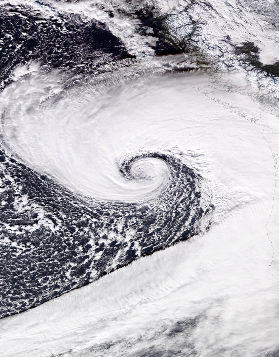
View! 👀 #BombCyclone
Yesterday's bomb cyclone off the US West Coast near peak intensity, accompanied by an atmospheric river. One of the most amazing satellite photos I've ever seen.
There was a slide off/rollover incident in Big Cottonwood Canyon earlier today. @LiveStormsMedia @abc4utah @KSL5TV @KUTV2News @fox13 #utwx #Utah #snow
The eastern side of Bear Lake received a beautiful new layer of snow during the night. @KSL_Matt @NWSSaltLakeCity @ChaseThomason @Dan_Pope_FOX13 @AlanaBrophyWX @Gobearlake @brianwusa

Hello Ryan, I wanted to bring to your attention that the volume of Channel 16 is quite low. @RyanQualtrics
Check out the cap cloud or lenticular cloud formation over the wasatch mountains above Centerville, Utah indicating east flow is setting up, east downsloping winds should start soon. #utwx @NWSSaltLakeCity #utwind
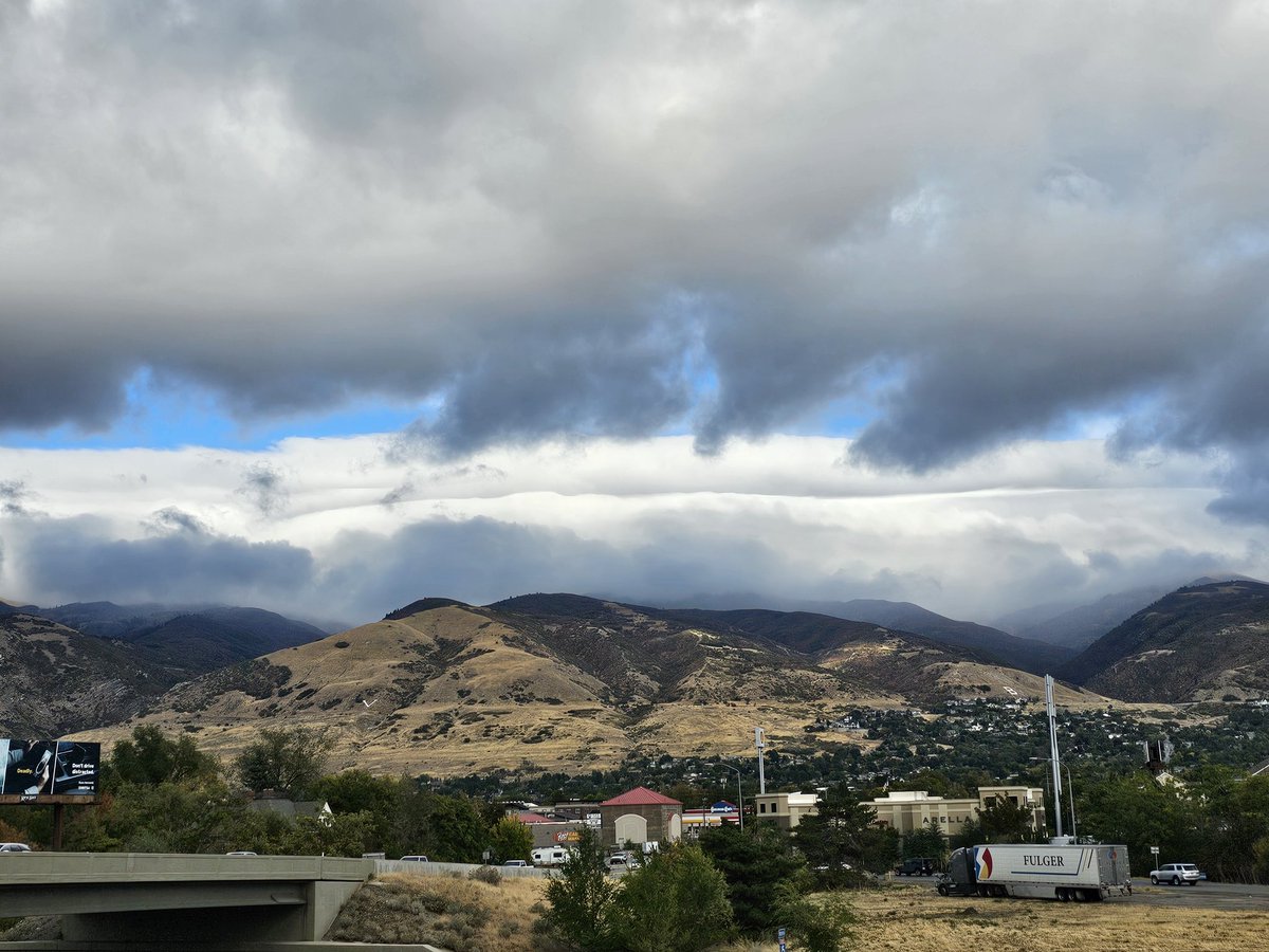
Winter has returned to Utah this morning @ChaseThomason @AllisonCroghan @Dan_Pope_FOX13 @AlanaBrophyWX @spann @JimCantore @NWSSaltLakeCity @kvandykewx @UtahWxMetGuy @wrighthydromet #Utah #utwx @StormHour @KSL_Matt x.com/i/broadcasts/1…
HAPPENING NOW: Storm surge occurring in Ft. Myers Beach ahead of #Milton's landfall tonight.


HERE WE GO! A "Severe" G4 geomagnetic storm is in the forecast Thursday night. This is quite the rare event and has at least a shot at reaching G5 levels. These events are like snowflakes, no two are the same. With that in mind, the below map is a loose representation of what G4…

The West is cooking 🔥
The Salt Lake City Airport has hit 90F for the first time in the period of record (dating back to 1874) in October, breaking our monthly temperature record. #utwx
Looking at Salt Lake City in particular, we reached 96 yesterday and at least 94 today. Not only do those shatter the previous records (91 both days), but prior to this event, no temp above 93 had ever occurred after Sept 19th. Truly an outlier event. 3/3 #utwx

Holy shit 😳
Massive debris flow traveling at lightning speed in eastern TN! The preceding drought conditions followed by days of rain ahead of Hurricane Helene set the stage. This is incredibly rapid for a debris flow.
.@UTTF1 deploying 45 personnel to Atlanta. @FireAuthority and 7 other agencies are sending personnel to assist with #Hurricane Helene.

Last night’s electrically charged storm was not messing around! This close range bolt on Mantua was one for the books! ⚡️ #utwx 📍: Mantua, UT 📸: Parker Hendricks

A severe thunderstorm watch has been issued for parts of Utah and Wyoming until 7 PM MDT

Winter is coming. 😆
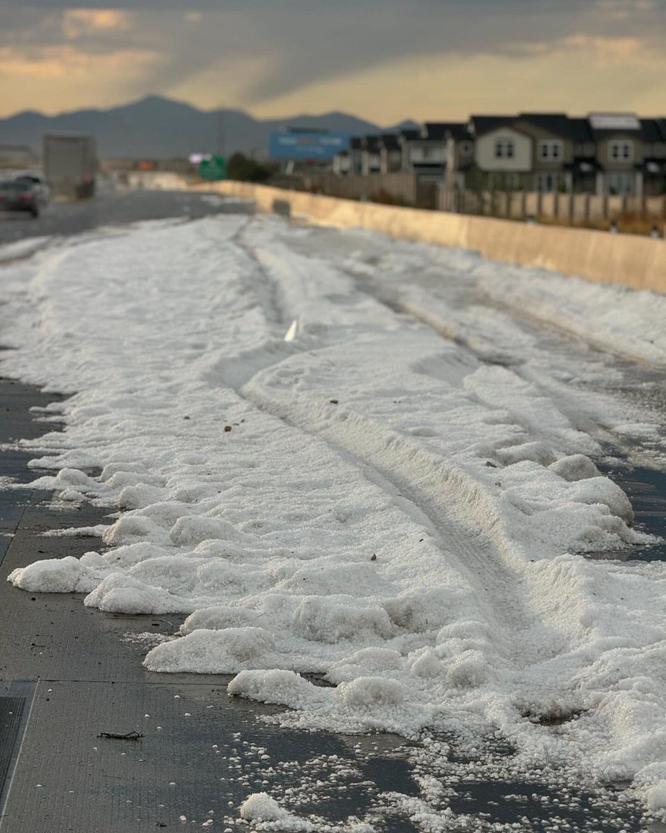
Hail in Bear Lake, Utah at 7pm @NWSSaltLakeCity @AlanaBrophyWX @ChaseThomason @AllisonCroghan @Dan_Pope_FOX13 @brian_schnee @KSL_Matt #utahwx #utwx @Gobearlake
United States Trends
- 1. ICBM 125 B posts
- 2. #KashOnly 13 B posts
- 3. The ICC 52,5 B posts
- 4. Good Thursday 25 B posts
- 5. #thursdayvibes 3.424 posts
- 6. #Thursdaytechnology N/A
- 7. Bezos N/A
- 8. Dnipro 49,5 B posts
- 9. #ThursdayMotivation N/A
- 10. Netanyahu and Gallant 44,1 B posts
- 11. Happy Friday Eve N/A
- 12. #21Nov 2.739 posts
- 13. International Criminal Court 30 B posts
- 14. Reece James 6.640 posts
- 15. Nikki 51,8 B posts
- 16. Adani 743 B posts
- 17. MIRV 5.580 posts
- 18. $DUB 8.358 posts
- 19. Ronaldo 129 B posts
- 20. Bitcoin 631 B posts
Who to follow
-
 IEMBot SLC
@iembot_slc -
 Uinta-Wasatch-Cache NF
@UWCNF -
 Chase Thomason
@ChaseThomason -
 Doug Iverson (Doug I. The Weather Guy!)
@DougIWeatherGuy -
 Ashton Edwards
@AshtonEdwards4 -
 Kristen McPeek KUTV
@KristenMcPeekTV -
 Matthew Johnson
@KSL_Matt -
 Jim Steenburgh
@ProfessorPowder -
 Erin Cox
@erincoxnews -
 Dan Pope
@weathercaster -
 Scott T. Taylor
@Grallon -
 Amy Nay
@AmyNayNews -
 Arron CJ Healy
@CoachellaJones -
 Utah Ski Conditions
@UtSkiConditions -
 Dan Pope
@Dan_Pope_FOX13
Something went wrong.
Something went wrong.

