MaryAnn Williams
@StormymaryannCanWarn trained spotter, storm chaser, amateur lightning / Aurora photographer, licensed pilot, business owner.
Similar User

@NZPChasers

@isabel_ONwx

@dave_sills

@vaughanweather

@LauraDuchesne

@JadeVajna

@tempesthunterph

@wellingtonwx

@twstdbro

@wkdwxON

@BranWx

@OntarioHazards

@markb0113

@PeakToSailPhoto

@scottrockphoto
Been working on a new hobby… getting ready for chase season next year! Hit me up if any one of my friends want one! Only $25 plus shipping


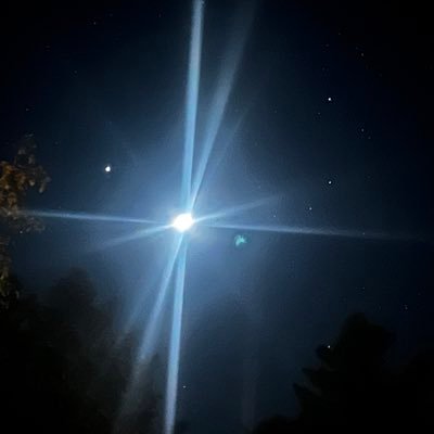
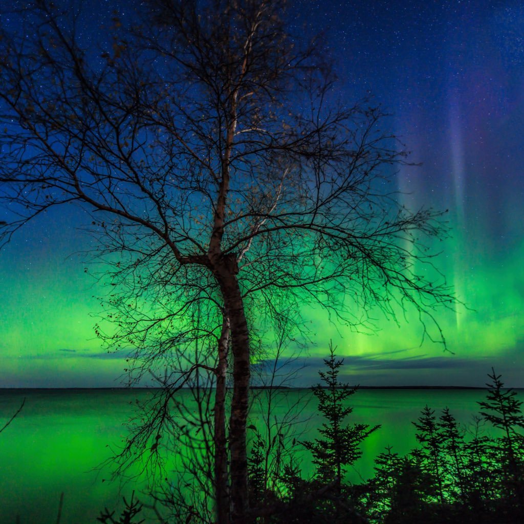
Haven’t had time to process the dslr shots from early on August 12, but here’s a couple of cell shots. Ontario battled clouds until about 12:30am on August 12 and we were able to shoot the lights until 3am when clouds came back. Aurora was visible to the naked eye!


Death Valley is about to experience what could be the hottest week recorded anywhere on Earth. Here are the forecast highs for the next week: July 3: 124°F July 4: 125°F July 5: 127°F July 6: 129°F July 7: 131°F July 8: 131°F July 9: 133°F
Heat warnings going up across the province! Bring it on!

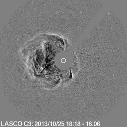
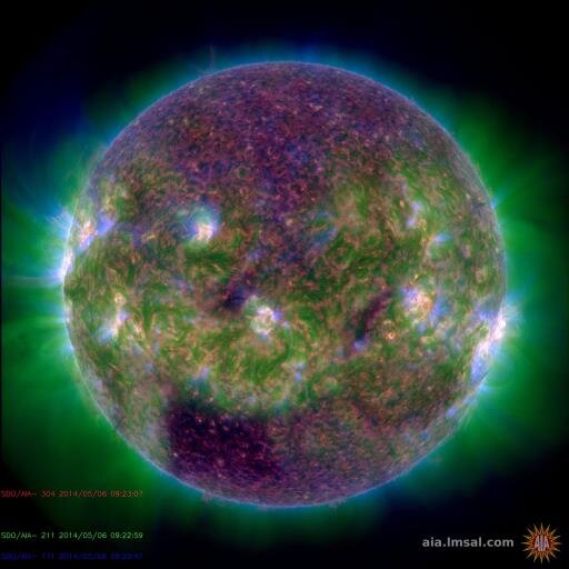
Amazing eruption! It was associated with an M9.7 flare in AR 13697. It was preceded by a prominence eruption going to west and north. The eruption was accompanied by a spectacular global coronal wave, and later observed as a fast (~1500 km/s) asymmetric halo CME.
I’m sorry.. I couldn’t help laughing at this! I know I won’t be going to heaven so I’ll save you all a seat down below! Watch the flip flop take to space like it has a falcon rocket strapped to it.
The Atlantic is in uncharted territory in 2024. Severe marine heatwave conditions have rapidly developed in the Caribbean, Gulf of Mexico, and off the coast of Florida, with water temperatures already peaking in the low 90s in Florida. The Florida Keys and the Bahamas are…

Tornado Watches up eastern Ontario and Gatineau area in Quebec. Good calls - ingredients appear to be coming together for a tornado threat there this afternoon into evening (looking like two waves of storms). Enough CAPE/shear/SRH for a sig tor or two. Monitor EC warnings! #ONwx
#onstorm 10:56a TORNADO WATCH ISSUED by Environment Canada Kingston - Odessa - Frontenac Islands Tamworth - Sydenham - South Frontenac Brockville - Leeds And Grenville City Of Ottawa Gatineau Prescott And Russell Cornwall - Morrisburg Smiths Falls -... instantweather.ca/2024/05/27/NDU…
🚨🚨BREAKING… ***HORRIFYING VIDEO*** 🌪️Watch as woman and passenger drive directly into the path of a #tornado on I-35. This JUST HAPPENED in the #ValleyView, #Texas area near Sanger. Significant damage now being reported. DEVELOPING… Video via Facebook: Valenia Gil
🚨#UPDATE: Footage shows a woman and her passenger driving directly into or near the path of a tornado on I-35 in the Valley View, Texas area near Sanger. Significant damage is now being reported, with a mass casualty event underway.

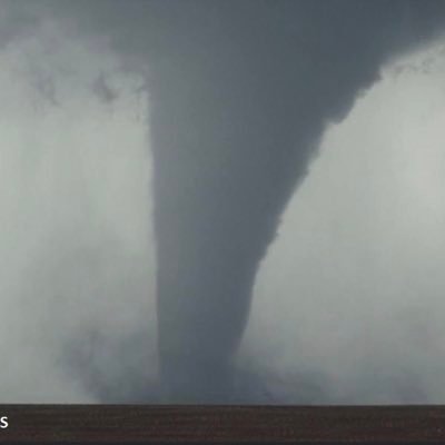
Tornado just outside of Windhorst, Tx @NWSNorman #wxtwitter #txwx

One of multiple powerful tornadoes to just now impact the wind force area in eastern archer county @CBSNewsTexas @NWSNorman
10:45am surface conditions across the DFW region. Light south/southeast winds, moisture transport ongoing, already spots of 5K cape in the Eastland area. Very volatile environment already! Stay tuned to local Mets and radar! #dfwwx


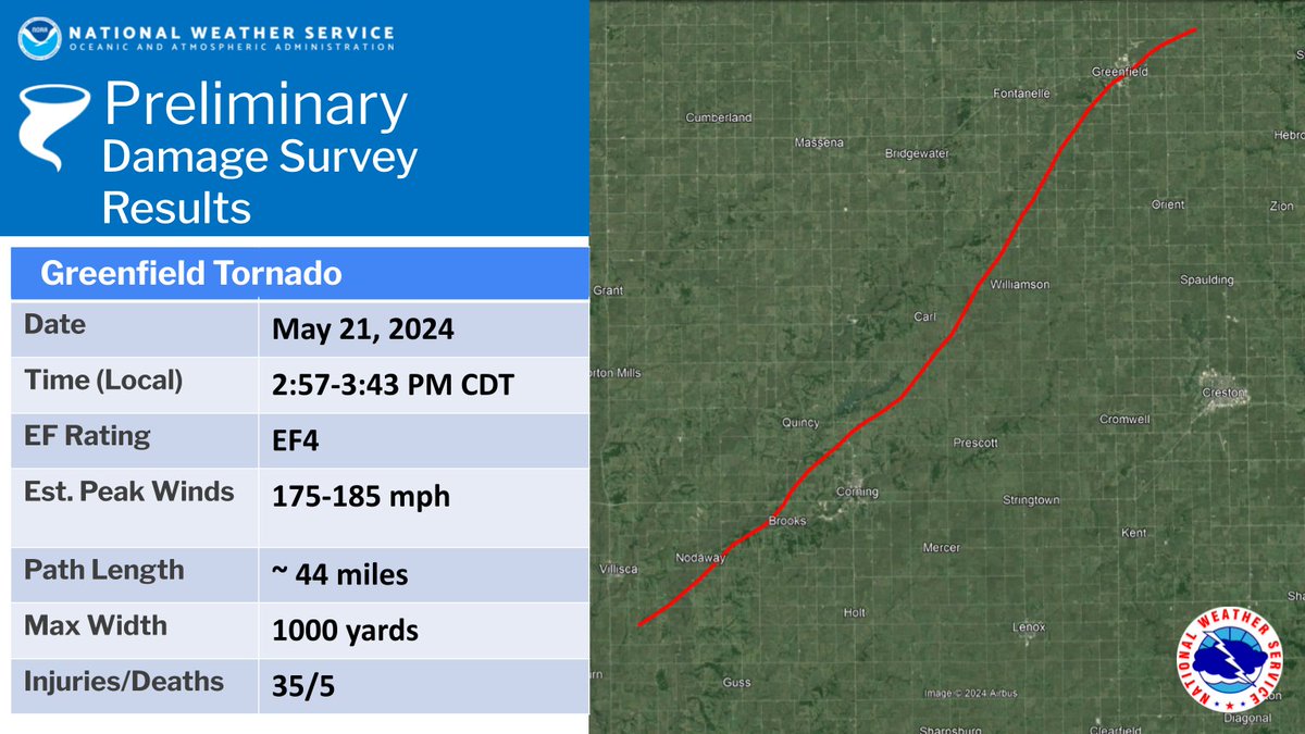
Survey teams have identified EF4 damage in Greenfield and southern Adair county. Further refinement is possible in the days to come. We also will analyze damage downstream from a separate tornado. NWS Des Moines expressed heartfelt condolences to those impacted. #iawx
United States Trends
- 1. Bama 20,3 B posts
- 2. Milroe 11,1 B posts
- 3. #AEWFullGear 55,2 B posts
- 4. $CUTO 6.699 posts
- 5. Ryan Williams 2.658 posts
- 6. Auburn 12,6 B posts
- 7. Marta 19,7 B posts
- 8. Notre Dame 22,7 B posts
- 9. DeBoer 1.833 posts
- 10. Ospreay 4.370 posts
- 11. #NWSLChampionship 3.659 posts
- 12. Kyle Fletcher 2.069 posts
- 13. Lamelo 5.295 posts
- 14. Iowa State 4.958 posts
- 15. Kansas 39,2 B posts
- 16. Vandy 5.735 posts
- 17. Sooners 4.646 posts
- 18. #RollTide 2.783 posts
- 19. Big 12 21,2 B posts
- 20. Lizzo 10,3 B posts
Who to follow
-
 NZP Chasers®
@NZPChasers -
 Isabel
@isabel_ONwx -
 Dave Sills 🍁
@dave_sills -
 Tom Stef
@vaughanweather -
 ᛚᛅᚢᚱᛅ🍂ᛏᚢᚴᚼᛅᛋᚾᛅ
@LauraDuchesne -
 Jade Vajna
@JadeVajna -
 Tempest Hunter 🇺🇦☮
@tempesthunterph -
 W. Scott Hammond 📷🌪⚡️
@wellingtonwx -
 Tom Smetana 🇨🇦 🌪
@twstdbro -
 Alex Todd 🌪
@wkdwxON -
 Bran_wx
@BranWx -
 Patricia Martel
@OntarioHazards -
 Mark Benest
@markb0113 -
 Mike MacLellan
@PeakToSailPhoto -
 Scott Rock
@scottrockphoto
Something went wrong.
Something went wrong.


