Shangharsha
@Shangharsha2PhD Candidate - Remote Sensing of Agriculture @lunduniversity | Geomatics | Remote Sensing | GIS #python #geospatial #satelliteRemoteSensing #UAV #LiDAR
Similar User

@BiplovBhandari

@LUfluxes

@mahesh100thapa

@PatrikVestin

@tobyzhang2005

@pagal_lekhak

@gpbhatta
Agriculture monitoring using high-resolution seasonal trajectories of Plant Phenology Index (PPI). Drought impact on agricultural crops, changes in crop seasonality parameters, agricultural productivity are some of the application areas where such products can be useful.
📢 Data Call Alert! We’re building an international database for tree species classification! Share aerial RGB/RGBI imagery & manual tree species annotations by 30 Nov 2024. Contributors will join as co-authors! Here: bit.ly/3As0v17 #RemoteSensing #OpenData

The best-available-pixel (BAP) tool you have been waiting for! Implemented on #GoogleEarthEngine (#GEE). #Landsat In #GEEBAP can tune composite parameters, create a #timeseries, set area of interest, AND download surface reflectance outcomes! Try it out: code.earthengine.google.com/e27240a92ecf64…

🌾🌽🌽 Retrieval of #Crop Variables from Proximal #Multispectral #UAV Image Data Using #PROSAIL in #MaizeCanopy ✍️ Erekle Chakhvashvili et al. 📎 brnw.ch/21wNFR8

🔔 New article: Sahoo et al. integrate GPR and PROSAIL models into Google #EarthEngine to map #LeafAreaIndex (LAI) of crops (validated with in-situ data) to monitor crop phenology and health in near real-time. 🔗 doi.org/10.1080/014311… #IJRS #RemoteSensing #CropHealth

🔔 New article: Zhang et al. monitor #soil moisture content (SMC) in winter #wheat using multi-angle, UAV-derived #multispectral imagery and #MachineLearning algorithms. 🔗 doi.org/10.1080/014311… #IJRS #RemoteSensing

📜💻🧑🔬Applying #DeepLearning check out the new python package by @BiplovBhandari Github: github.com/SERVIR/servir-… Paper: joss.theoj.org/papers/10.2110…

🌱Comparison of Winter Wheat Yield Estimation Based on Near-Surface Hyperspectral and UAV Hyperspectral Remote Sensing Data by Haikuan Feng, et al. ➡️ mdpi.com/1792798

#mostcited 🌿 Predicting the Chlorophyll Content of Maize over Phenotyping as a Proxy for Crop Health in Smallholder Farming Systems by Kiara Brewer, et al. ➡️ brnw.ch/21wL34j

#mostcited 🌿 Toward Automated Machine Learning-Based Hyperspectral Image Analysis in Crop Yield and Biomass Estimation by Kai-Yun Li, Raul Sampaio de Lima, et al. ➡️ brnw.ch/21wL1BZ #MachineLearning

#mostcited 🌱 Estimation of Above-Ground #Biomass of Winter Wheat Based on Consumer-Grade Multi-Spectral #UAV by Falv Wang, Mao Yang, et al. ➡️ brnw.ch/21wKYYB

Developed a generic model to estimate wheat LAI from UAV multispectral data without ground calibration. High accuracy across diverse soils and conditions. #AgTech #RemoteSensing #aizava Details: spj.science.org/doi/10.34133/p…

#mostcited 🌽The Optimal Phenological Phase of Maize for Yield Prediction with High-Frequency #UAV Remote Sensing by Bin Yang, Wanxue Zhu, et al. ➡️brnw.ch/21wKXDU

UAV-based phenotyping with RIFSeg-Net outperforms traditional methods, accurately categorizing soybean canopy types and aiding in efficient breeding trials. #AgriTech #PlantBreeding Details: spj.science.org/doi/10.34133/p…

📢The HyperCoast #Python package now support interactive slicing and thresholding of hyperspectral data in 3D 🌎 It supports popular datasets like AVIRIS, DESIS, EMIT, PACE, and NEON AOP 🔥 This demo shows how to perform interactive slicing and thresholding of the NEON AOP…
📢Visualize hyperspectral data in 3D 🌍 with just a few lines of code using the HyperCoast #Python package . It supports popular datasets like AVIRIS, DESIS, EMIT, PACE, and NEON AOP. GitHub: github.com/opengeos/Hyper… Notebook: hypercoast.org/examples/image… @bingqingliu8 #geospaptial…
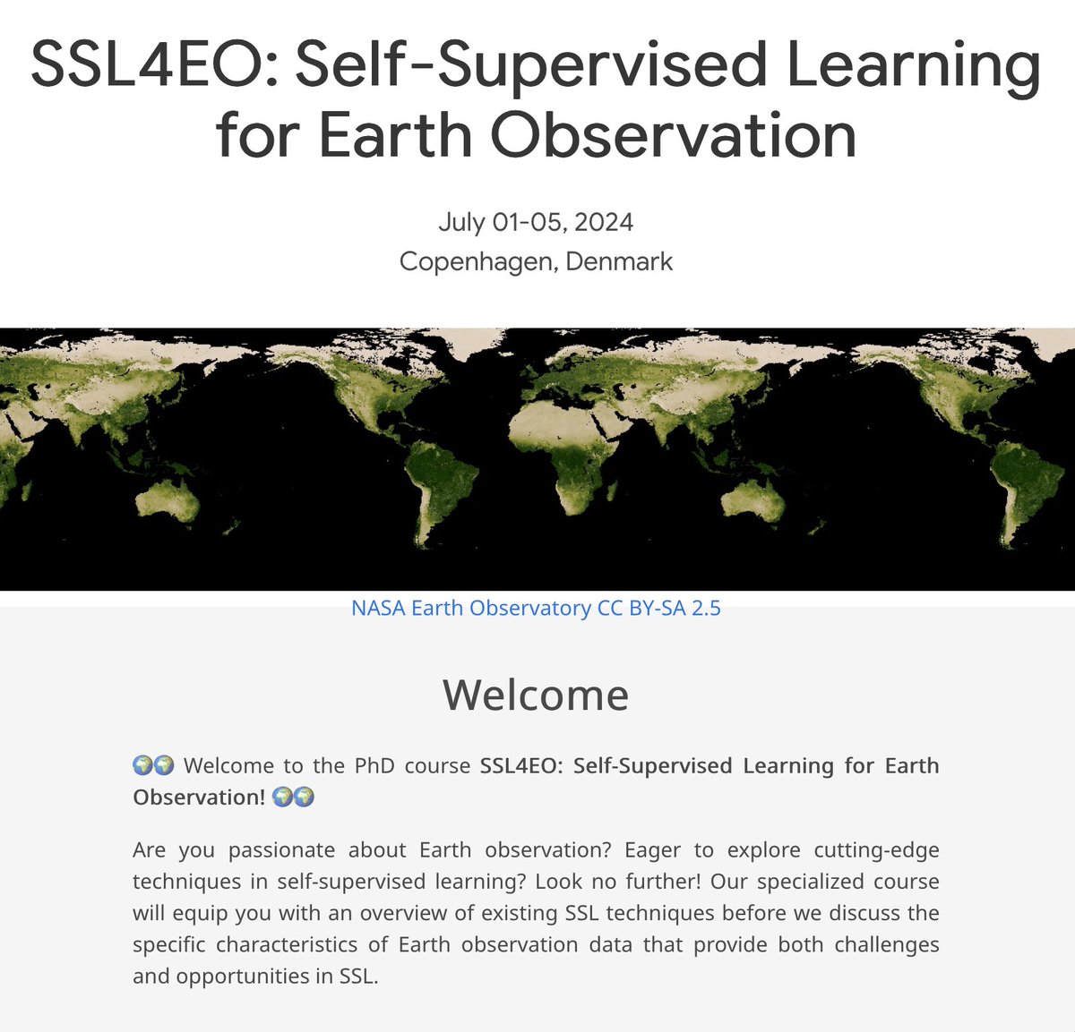
At University of Copenhagen, we are organizing a summer PhD course on SSL4EO. Registration is now open via: ankitkariryaa.github.io/ssl4eo/ (seats are limited). We are looking forward to hear from: @randall_balestr, @MarcCoru, @kklmmr, @brunosan, @JanDirkWegner1, @xiaoxiang_zhu
#mostcited 🌿 Automated #MachineLearning for High-Throughput Image-Based #PlantPhenotyping by Joshua C.O. Koh, German Spangenberg and Surya Kant mdpi.com/2072-4292/13/5… #unmannedaerialvehicle

ExtSpecR is an open-source tool for UAV remote sensing in forestry, simplifying single tree detection, spectral data extraction, and enhancing research on tree growth and traits. Details: spj.science.org/doi/10.34133/p…

🛰️ The birthplace of Buddha as seen by #Sentinel2 With this #Sentinel2 image of #Lumbini we highlight #WorldMeditationDay Download the images and discover more about this holy site in #Nepal in the #Copernicus Data Space Ecosystem image gallery⤵️ dataspace.copernicus.eu/gallery/2024-4… #CDSE

United States Trends
- 1. Bengals 73,6 B posts
- 2. Chargers 61,4 B posts
- 3. McPherson 11 B posts
- 4. Herbert 32,3 B posts
- 5. Joe Burrow 18,4 B posts
- 6. #CINvsLAC 9.898 posts
- 7. #BoltUp 5.045 posts
- 8. Zac Taylor 3.967 posts
- 9. #BaddiesMidwest 18 B posts
- 10. #SNFonNBC N/A
- 11. JK Dobbins 4.100 posts
- 12. Money Mac N/A
- 13. Harbaugh 14,9 B posts
- 14. #WhoDey 1.739 posts
- 15. Chiefs 155 B posts
- 16. Ladd 5.248 posts
- 17. Tee Higgins 3.587 posts
- 18. WWIII 154 B posts
- 19. Russia 749 B posts
- 20. Josh Allen 67,2 B posts
Something went wrong.
Something went wrong.

