Similar User

@swgaweather

@ZacharyChalmers

@SandhillCulver

@PAweatherPhoto

@markus_tsc

@NicksWxWorld

@RoyBritt1

@SelBaggg

@austinmorlock_

@XJangel89

@Dsnives

@ralphieund

@hamzaziz_

@nwfltracking

@wilsonjeff24
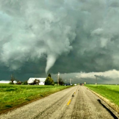
Watching this storm closely SW of Pickens SC as it is rotating broadly and is heading toward my mom and Gizmo. Gizmo knows what to do

Severe thunderstorms capable of producing several tornadoes (possibly strong) and numerous damaging wind gusts are possible Friday evening/overnight from the lower/mid Mississippi Valley to the lower Ohio and Tennessee Valleys including #TNwx #KYwx #MSwx #ARwx #ILwx #INwx #MOwx

South Carolina Winter Weather Preparedness Week: Leave the bread and milk on the shelf when the forecast has ice or snow. Opt for items like bottled water, protein bars, canned soups or peanut butter and crackers instead. #scwx

Dominator Fore with beautiful fall colors. Speaking event in 2022 declined to have this beautiful vehicle on display! They were not impressed

Who made it out to see the lunar eclipse Friday morning? One of our meteorologists took this photograph through their telescope at around 4am! Despite its red appearance, this was a partial eclipse...with 99.1% coverage, so very near a total eclipse!

Tornado Warning including Concord NC, Kannapolis NC, China Grove NC until 8:15 PM EDT

Tornado emergency near Chester, IL. Huge debris signature is visible from radar. A very destructive tornado is possible.


Check out this tornado warned #hailstorm just north of the Mexican border in Texas. #txwx The NWS warning mentions the possibility of large apple sized hail in this storm.
From the real camera. I can 99.9% guarantee I will never see anything this amazing at 10:30am again. Brewster KS yesterday. @ReedTimmerAccu @JimCantore
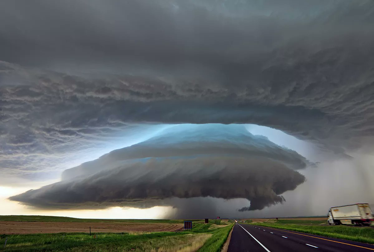
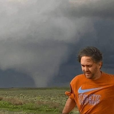
Closing in rapidly. Taco truck intercept imminent. Hold on to your butts
Beautiful day in Paris Mountain State Park observing newts, lizards, and hopefully some snakes!
This is called cloud iridescence! ☁️🌈 More information can be found here: scijinks.gov/rainbow-clouds/
Tornado warned storm northeast of Memphis, TN is showing strong Debris signature.

LIVE update from Ness City, KS with storms about to erupt along the dry line! Massive hail is the main threat but expecting a #tornado or two near and just after sunset. Stay tuned to the @RadarOmega_WX app #kswx
United States Trends
- 1. Kendrick 258 B posts
- 2. Daniel Jones 39,6 B posts
- 3. Luther 24,1 B posts
- 4. #AskShadow 4.499 posts
- 5. $CUTO 4.777 posts
- 6. Squabble Up 12,9 B posts
- 7. #TSTTPDSnowGlobe 4.590 posts
- 8. Giants 71,8 B posts
- 9. Kdot 4.693 posts
- 10. TV Off 17,4 B posts
- 11. Wayne 34 B posts
- 12. Kenny 21,1 B posts
- 13. #AyoNicki 1.502 posts
- 14. Dodger Blue 4.877 posts
- 15. Reincarnated 14,6 B posts
- 16. Danny Dimes 1.330 posts
- 17. One Mic 3.676 posts
- 18. Gloria 38,8 B posts
- 19. Muppets 7.232 posts
- 20. Heart Pt 10,9 B posts
Who to follow
-
 SWGA Weather, Inc
@swgaweather -
 Zachary Chalmers
@ZacharyChalmers -
 Sand Hill Farm Development
@SandhillCulver -
 Connor Sipe
@PAweatherPhoto -
 Markus Weggässer
@markus_tsc -
 NWxW
NWxW
@NicksWxWorld -
 Roy Britt
@RoyBritt1 -
 Brandon Selbig
@SelBaggg -
 Austin
@austinmorlock_ -
 Angela Crager
@XJangel89 -
 Darren S
@Dsnives -
 Ralph Hoversten
@ralphieund -
 Hamza
Hamza
@hamzaziz_ -
 sean
sean
@nwfltracking -
 Jeff wilson
@wilsonjeff24
Something went wrong.
Something went wrong.


