Victor Chepcheng
@vchepchengA dog's purpose | Director at Geopin Consult @GeopinConsult | Geospatial and Land Surveying Consultant | Creative at Imager @_imager
Similar User

@GeopinConsult

@anesthethics

@TOB3133

@ricky_maier

@forhad_arf

@Tooturntra

@osnola_27

@kapazd

@Anni_Wol

@urza1237
Unless you understand your role in society, you can never make any meaningful contribution.
Conducting a GPR survey at the 300-year-old archaeological site in Lux Manda. Our team is using USRADAR GPR to explore the site. This innovative survey method will help us identify buried structures, artefacts, and other significant features without disturbing the site.


Umeweka kila mtu karibu na kwao. Duale Somalia, 🤣
The Cabinet of New Singapore 🇸🇬. ⚖️

Does the Gachagua speech confirm that Extra judicial killing in the previous regime was done by the NIS? RIP BASHIR MUHAMMED & JACOB JUMA ✊ We will never forget #RevolutionNowOrNever #RutoMustGo


Refusing to listen to its youth on the finance bill is a grave mistake.
@NPSC_KE can you guys clarify where the truth lies. Kenyans fear helping injured people in a hit and run accident because police always hold them responsible in the event of death.
HEART Our hands will only GlVE what our hearts have already released to God, Jesus said in Matthew 6: 24- 26
The AfroSpatial Magazine introduces the world to the latest geomatics news and trends, underscoring the importance of geospatial technology. It aims to explore the dynamic world of geospatial technology and its profound impact on various sectors. issuu.com/afrospatial/do…

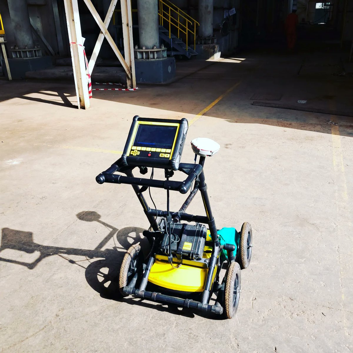
Embarked on a comprehensive Ground Penetrating Radar (GPR) survey at the Olkaria One Site. This initiative aimed to support the rehabilitation project at the site, focusing on mapping the drainage system within the plant and determining concrete thickness in the power house. #GPR


Exploring the vast skies of Uganda with cutting-edge technology! Our team is utilizing the Matrice M300 drone paired with Zemmuse L1 scanner for a LiDAR aerial survey, mapping over 2000 acres with unparalleled precision. Unlocking invaluable design insights for future projects


Carrying topographical Survey for construction of Surfer and all inclusive Hotel in Kismayu in Somalia #traditionofprecision


Got some balloons.🎉 This is 28. Unbowed, Unbent, unbroken, and almost balding. All I want is my whiskey to get finer. Here is to another year of growth. #birthday
Exploring the skies above Nanyuki with drone mapping! Marking Ground Control Points to ensure precision and accuracy of aerial maps. #dronemapping #drone #survey #LandSurvey

Piloting resilience in Makueni County! 🌳 Embracing the strength of resilient trees with a focus on georeferencing. Discovering and celebrating drought-resistant species in hardship areas, fostering hope for a greener, sustainable future. @GvnMutula @KeForestService @VidyyT
One day, we'll make a tweet, and it'll be our last...
United States Trends
- 1. $CUTO 8.027 posts
- 2. Jeremiah Smith N/A
- 3. #collegegameday 3.830 posts
- 4. DeFi 105 B posts
- 5. $CATEX N/A
- 6. Broden N/A
- 7. #Caturday 8.466 posts
- 8. $XDC 1.570 posts
- 9. Renji 4.803 posts
- 10. Northwestern 3.839 posts
- 11. Henry Silver N/A
- 12. #MSIxSTALKER2 6.636 posts
- 13. Jayce 92,3 B posts
- 14. Wrigley Field 1.141 posts
- 15. Pat McAfee N/A
- 16. #Arcane 321 B posts
- 17. Bessent 3.157 posts
- 18. Pence 83 B posts
- 19. Lutnick 1.719 posts
- 20. Senior Day 3.021 posts
Something went wrong.
Something went wrong.

