Geoholic
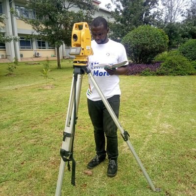
@_EmmanuelRotichGeometra ~ land marks provider, #engineering survey #GIS#Civil 3D#ArGIS#QGIS#Geo-informatics, enthusiastic,Tech-Bro and introvert_Messianic Too🕎
Similar User

@mutethia_karuma

@Moses__Mwania

@Geo_Traverse

@Kip__Emmanuel

@_francisodero_

@GtFlakes

@christophsang

@mosongjrn

@GeoDAJ_Ltd

@BrianKiptooo

@Nyeri_insights

@k_maru254

@__kipngetich

@MugureImani

@mbararl
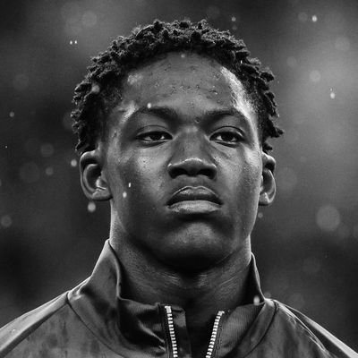
Star status, PFA approved. 💫 Cole is the @PFA 2023/24 Young Player of the Year. 🏆

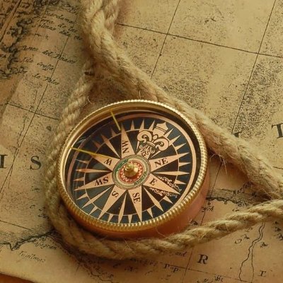
This's apparently what I do for a living 🗺️ Retweet and like if you like it

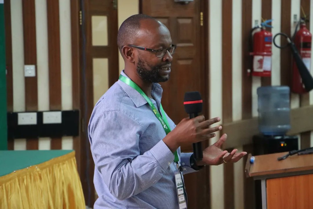
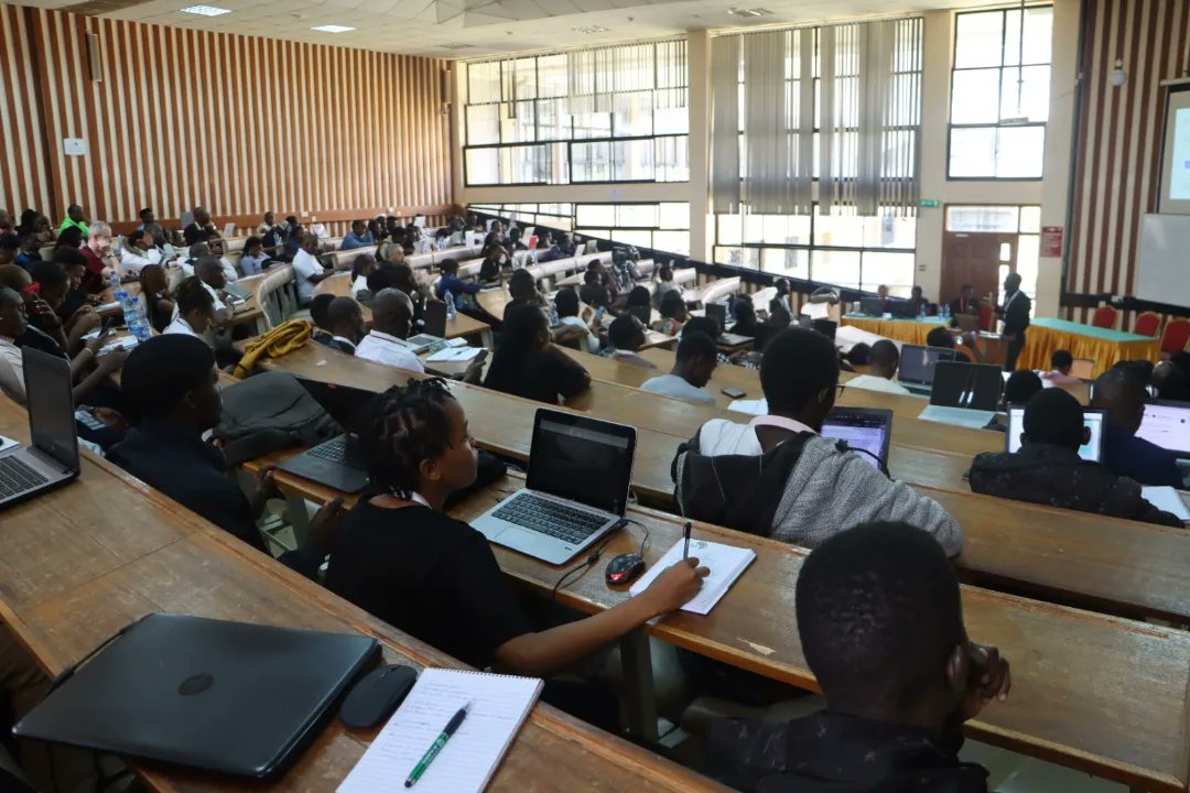
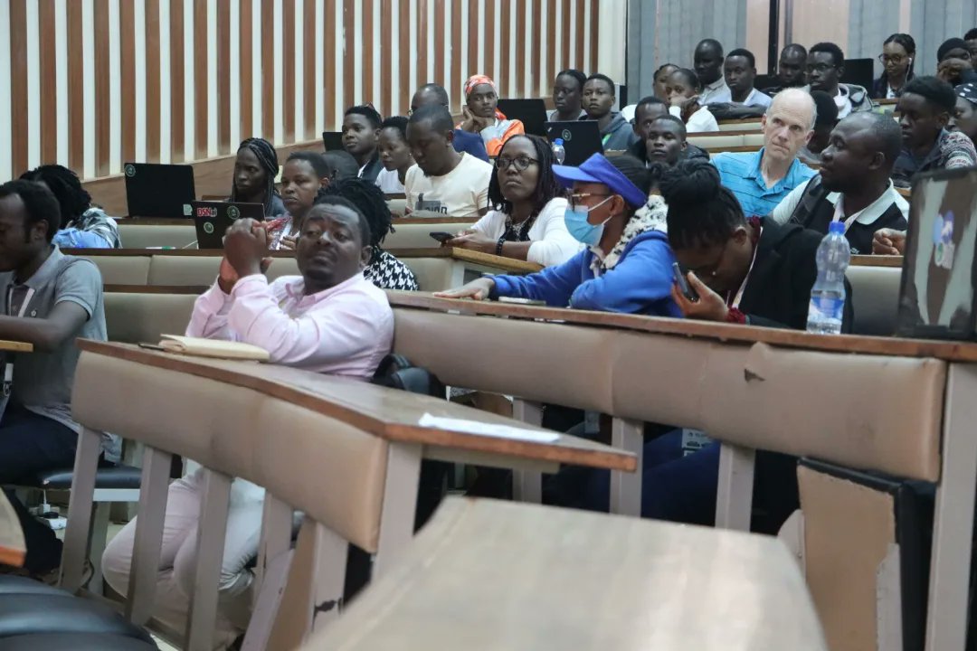
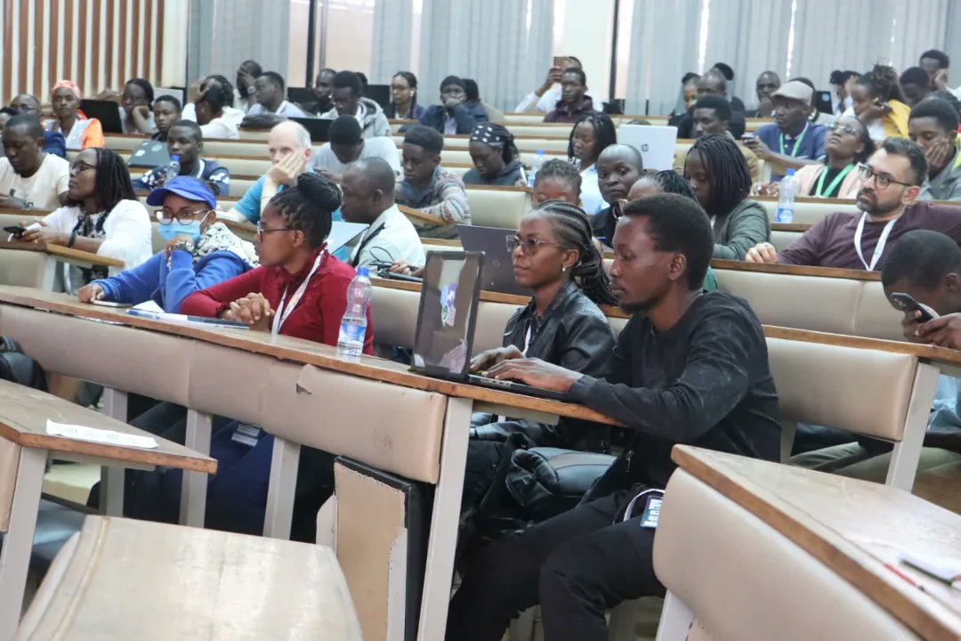
The Data Science Africa Conference 2024 concluded with a series of engaging discussions and workshops on the final day. #DataScienceAfrica2024 #AIforSocialGood #GenerativeAI #ResponsibleAI #DataScience #TechForGood #MachineLearning #AIinAfrica #SustainableTech #Innovation
How GPS Receivers Work – Trilateration vs Triangulation gisgeography.com/trilateration-…
Police officer pictured distracting a little girl after her father lost his life in a car accident.

GIS Programming Tutorials: Learn How to Code gisgeography.com/gis-programmin…
🚀 Elevate your mapping experience! 💻 Integrate the analytical power of QGIS with the collaborative features of Felt with our Add to Felt plugin. Web mapping, simplified and social! 🗺️😎 youtu.be/HcSa63CYLN4 #gis #qgis

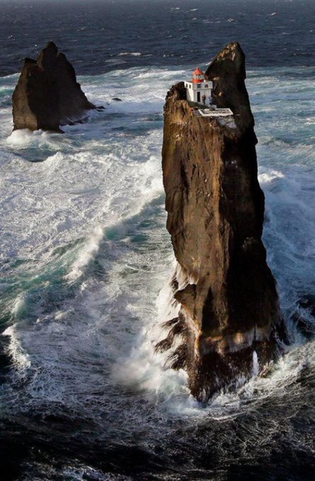
There's a lighthouse in Iceland that sits on the highest of three rocks six miles off the Icelandic coastline, built in 1939 on top of an extremely steep and dangerous rocky cliff. It's the the Þrídrangar lighthouse
A map says to you. Read me carefully, follow me closely, doubt me not... I am the earth in the palm of your hand.#GISDay2023

Are you a GIS Professional? We want to recognize you this month. Share your GIS journey with us here: hubs.li/Q027TWyd0

#remotesensing #books MDPI Books 📚 Title: Monitoring Forest Carbon Sequestration with Remote Sensing 🔗Download here: mdpi.com/books/book/7128 ✒Edited by Huaqiang Du, Wenyi Fan, Mingshi Li, Weiliang Fan and Fangjie Mao

⚡️New chapters in my Spatial Statistics book!⚡️ 🗺️ Spatial interpolation methods (inverse distance weighting, nearest neighbors) ✅Methods assessment 🔗 paulamoraga.com/book-spatial/s… #rstats #rspatial #gischat #spatial
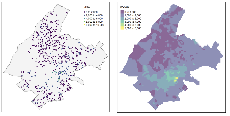
𝟒 𝐃𝐚𝐲𝐬 and Counting! Your path to success begins with our upcoming training on 𝐃𝐚𝐭𝐚 𝐀𝐧𝐚𝐥𝐲𝐬𝐢𝐬 𝐔𝐬𝐢𝐧𝐠 𝐑 𝐏𝐫𝐨𝐠𝐫𝐚𝐦𝐦𝐢𝐧𝐠. Stay tuned for a learning experience like no other!

There are nearly 1,000 GIS Day events registered across the globe! 🙌 Will you celebrate #GISDay on Nov. 15? 🎉 Visit the link to join in! esri.social/gO7L50POJbA

Help wanted! #geospatial JavaScript experts out there, please help with this pull request for adding #ipyleaflet support for #PMTiles. It will be a game-changer for visualizing large vector datasets in Python 🐍 🗺️ github.com/jupyter-widget… #gischat #python #geopython #jupyter
Real-time differential correction (DGPS) has had a positive impact on mapping, navigation and the verification of data. Post processing GNSS data coupled with Ground Penetrating Rada data can deliver accurate and informed spatial @felixorina @OrbitalLtd @kevin_rema88210

🌿 The popularity of #leafmap on GitHub is soaring! 🚀 🌐 GitHub: github.com/opengeos/leafm… 📚 Documentation: leafmap.org 🌍 Explore the power of #geospatial analysis and mapping with this #opensource Python package. 🐍💻 #python #GIS #dataviz #mapping

United States Trends
- 1. Mike 1,78 Mn posts
- 2. Serrano 237 B posts
- 3. #NetflixFight 70,8 B posts
- 4. Canelo 16,1 B posts
- 5. #netflixcrash 15,5 B posts
- 6. Father Time 10,8 B posts
- 7. Logan 77,5 B posts
- 8. Rosie Perez 14,7 B posts
- 9. He's 58 24,2 B posts
- 10. Shaq 15,9 B posts
- 11. Boxing 293 B posts
- 12. ROBBED 101 B posts
- 13. #buffering 10,8 B posts
- 14. My Netflix 82,4 B posts
- 15. Tori Kelly 5.149 posts
- 16. Roy Jones 7.113 posts
- 17. Ramos 70,3 B posts
- 18. Cedric 21,6 B posts
- 19. Gronk 6.566 posts
- 20. Barrios 50,5 B posts
Who to follow
-
 Nicholas Mutethia Karuma
@mutethia_karuma -
 Moses Mwania
@Moses__Mwania -
 GeoTraverse_Company Ltd.
@Geo_Traverse -
 EMMANUEL KIPNGETICH
@Kip__Emmanuel -
 AFRO🌍TECH💻 #Geospatial
@_francisodero_ -
 Iconic_Geospatial_Surveyors
@GtFlakes -
 Christoph sang
@christophsang -
 ToroitichLuke✨
@mosongjrn -
 GeoDAJ Consultants
@GeoDAJ_Ltd -
 KIPTOO B
@BrianKiptooo -
 Nyeri Insights
@Nyeri_insights -
 Kimaru
@k_maru254 -
 Surveyor
@__kipngetich -
 Mugure
@MugureImani -
 Derrick
@mbararl
Something went wrong.
Something went wrong.


