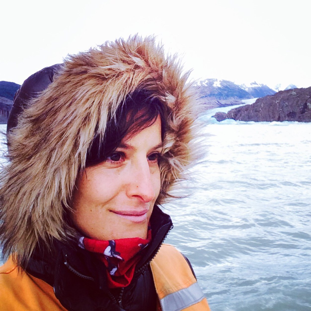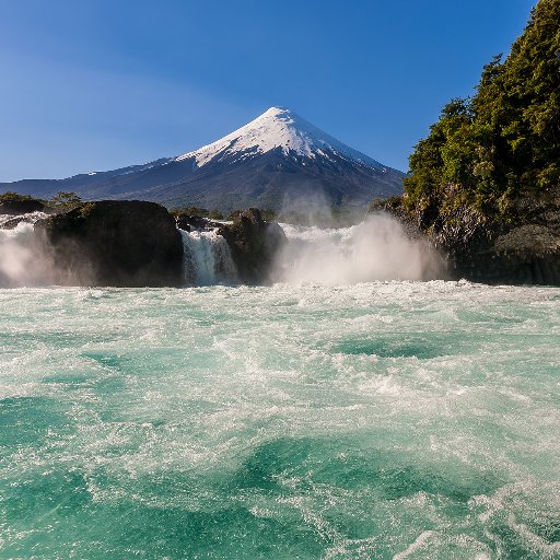
Recorriendo Chile
@RecorriendoCLPhotographs by Norberto Seebach. Sharing Chile's stunning landscapes since 1979. http://t.co/cbOQlxK96W http://t.co/1fCFabP6Yj
Similar User

@CR2_uchile

@kebensperger

@paulfontaineb

@cseebach

@BancoEstado

@horizontalchile

@JoaquinBaranao

@clarroulet

@maylwino

@louisdegrange

@CCPLM

@pallards

@susanajimenezs

@tomasrecartb

@meguiguren
Hoy en Artes y Letras (E4), reportaje de Norberto Seebach (digital.elmercurio.com/2018/12/23/E/9…) y homenaje en la Revista del Domingo de El Mercurio (digital.elmercurio.com/2018/12/23/RVD…)
1942-2018 Gracias por tu enorme legado y por tu herencia para generaciones venideras. Seguiremos contigo Recorriendo Chile

En su primer libro de fotografías en blanco y negro de paisajes chilenos, Norberto Seebach nos trae el #ChileAsombroso de esta semana: el salar de Tuyajto, a unos 166 kilómetros de San Pedro de Atacama. Aquí, lo que hay que saber: bit.ly/2IZ3T3l

¿Un dato en la Región del Biobío? Esta playa que nos mostró el fotógrafo Norberto Seebach: La Rumena, que se levantó luego del terremoto de 2010. bit.ly/2zdnJ8C

Laguna Verde y Volcán Incahuasi, Región de Atacama El colorido de los parajes del Norte Grande… instagram.com/p/BbkMZaqhlXT/
Puerto Tranquilo, Región de #Aysén #Chile ©Norberto Seebach del Calendario Recorriendo Chile | Febrero 2018 recorriendochile.cl/es/Calendario_…

Parque Nacional Pan de Azúcar, Región de Atacama En 1986 se creó el Parque Nacional Pan de… instagram.com/p/BaHqOychCLK/
Isla Booth, Antártica Unos 1500 km al sur de Punta Arenas, en latitud 65 S, se concentran los… instagram.com/p/BZwr8vGhDv-/
#RecorriendoChile 2017 v. #NorbertoSeebach: toller #Kalender als #Geschenk an #Weihnachten #Genuss mit #ChilenusWine weinversand.chilenus.de/Weitere-Katego…

These pallets including Polkura and @recorriendoCL calendars are ready to be shipped to Germany cc @ChileWeinContor

Tatio Geysers, Antofagasta Region, #Chile Recorriendo Chile Calendar | August 2016 More: facebook.com/recorriendochi…

Anakena Bay, Easter Island, #Chile. Probably the most isolated island in the world. More at: facebook.com/recorriendochi…

Morado glacier and lagoon only 110 km away from Santiago, in Chilean high Andes. facebook.com/recorriendochi…

Calvo Fjord, Magallanes, Chile, draining glaciers & waters from Southern Patagonian Icefield facebook.com/recorriendochi…

Laguna Verde, #Atacama Region, surrounded by volcanoes like pictured Incahuasi (6620 m) facebook.com/recorriendochi…

Guayalí, a remote valley in the Upper #Biobio, on our @RecorriendoCL 2016 Calendar cover. facebook.com/recorriendochi… https://t.co/yCmL6rh22R

Easter Island, the most isolated in the world, 3.800 km away from continental Chile. m.facebook.com/recorriendochi… https://t.co/m3atqReQjb

United States Trends
- 1. $RWA 16,4 B posts
- 2. $MXNBC 1.506 posts
- 3. #MondayMotivation 11,8 B posts
- 4. Good Monday 32,8 B posts
- 5. #MondayVibes 4.166 posts
- 6. Saquon 101 B posts
- 7. Idleness 2.018 posts
- 8. #مستحکم_مضبوط_پاکستان N/A
- 9. IZNA DEBUT OUT NOW 6.859 posts
- 10. #DatGirlisIZNA 7.007 posts
- 11. #이즈나_음원발매_데뷔 6.947 posts
- 12. Eagles 118 B posts
- 13. Diligence 7.587 posts
- 14. Victory Monday N/A
- 15. Rams 41,9 B posts
- 16. Snoop 13,5 B posts
- 17. Uruguay 195 B posts
- 18. Steve Lacy 3.692 posts
- 19. Chris Chan 11,1 B posts
- 20. Geico 9.557 posts
Who to follow
-
 Centro de Ciencia del Clima y la Resiliencia CR2
@CR2_uchile -
 Karin Ebensperger Ahrens
@kebensperger -
 Paul Fontaine B.
@paulfontaineb -
 Claudio Seebach
@cseebach -
 BancoEstado
@BancoEstado -
 Horizontal
@horizontalchile -
 Joaquín Barañao
@JoaquinBaranao -
 Cristián Larroulet Vignau
@clarroulet -
 Mariana Aylwin
@maylwino -
 Louis de Grange
@louisdegrange -
 Centro Cultural La Moneda
@CCPLM -
 Pablo Allard
@pallards -
 Susana Jiménez Schuster
@susanajimenezs -
 Tomás Recart Balze
@tomasrecartb -
 Marlen Eguiguren
@meguiguren
Something went wrong.
Something went wrong.


