Garrett Occhipinti
@Garrett_OOklahoma State Graduate. Business Administration. OKWU Finance MBA. Storm Chaser/Photographer. Servant of the most High.
Similar User

@WxEverett

@BraxBanksOKWX

@ColtForney

@srfoskey_wx

@tdanloving

@tgeurin_realtor

@AlecciJosh

@ShaneMuckey

@LermaRyan

@miwx97

@OkLance

@rkb2017

@DKilloren

@ace38

@cmoriarty79
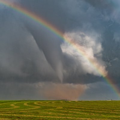
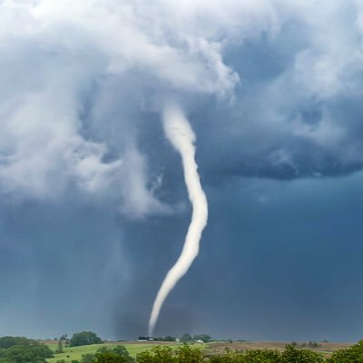
It’s pretty amazing to think about how tall tornadoes actually are.

That did not look clear and indisputable… but not saying the original call was right either… what a wild and gut wrenching ending to the VT/MIA game
Numerous Orange County Fire Units on foot clearing foliage and staged / prepared to protect Robinson Ranch neighborhood. #Airportfire #OCFD #wildfire #SoCal


Flames approaching Robinson Ranch neighborhood! Dramatic video as helicopters dump water, targeting the flames. #airportfire #wildfire #TrabucoCanyon
Areas of Robinson Ranch and Dove Canyon are under evacuation.


Large fire just started in Trabuco Canyon, CA. Large response from local FD. Tankers dropping water.
Textbook JET-LIKE vortex in China likely from a string vertical pressure gradient beneath a high-based dynamic pipe
An incredible photograph by Doug Mills, which literally captured a bullet flying in the air during Trump’s rally in Pennsylvania.

Electric hail dump over Edmond, Oklahoma! ⚡️ #okwx 10:15pm
2 years ago today in Teton County this happened and no one saw it

Experiencing this was wild! Remember it like it was yesterday. Truly bizarre, and so much power in those storms that day!
Hurricanes strengthen over seawater, and weaken over land—it’s one of the most fundamental laws that govern the meteorological mechanics of tropical cyclones. However, on August 19th, 2007, Tropical Storm Erin challenged this cyclonic status quo when she suddenly and strikingly…

Experienced the wildest thing before tornadogenesis in NW Oklahoma today. Maybe 15mph winds, then all of a sudden an extreme, narrow swath of 85+mph winds nearly took us off the road. Lasted no more than a couple of minutes. 3 minutes later a tornado is on the ground to our NW.
Some questions about tomorrow on models not named HRRR or NAM. Other WRF models, GFS, showing earlier initiation in NW TX which has upstream moisture implications into central OK. Just a good reminder there’s always uncertainty in a forecast, sometimes more than others. Waiting…
SCIENCE!
We collected data in the Greenfield, IA tornado today as part of the @NSF #BEST project. Data are all preliminary and we will be evaluating in the upcoming days. We did see Doppler winds in the upper 90s m/s. There also is intense damage which will be evaluated.

Central Oklahoma’s show was relatively minor compared to everywhere else, but I’m pumped to have pulled off capturing myself in the moment.

I will never top this

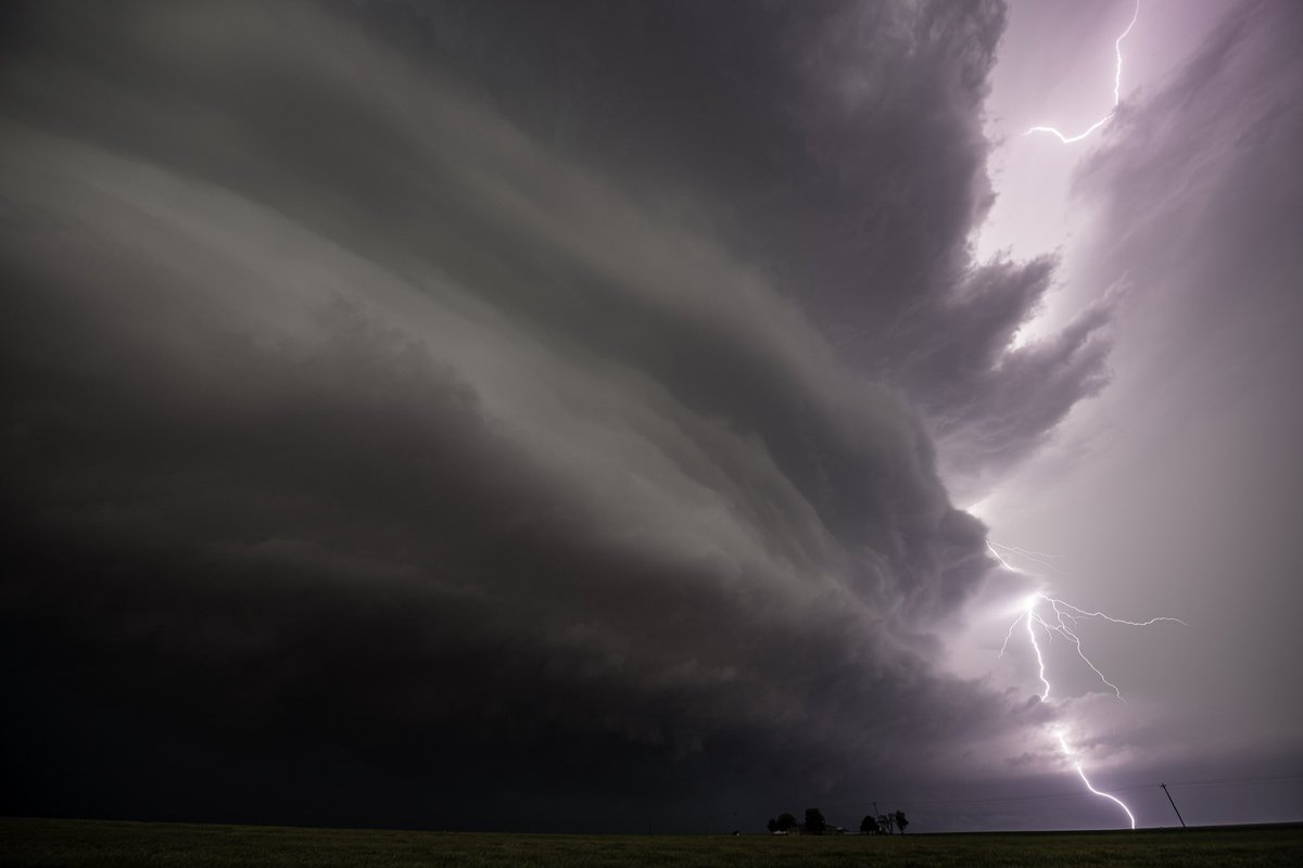
Some pretty wild structure with this tornado warned storm near Covington, OK earlier this afternoon, #okwx
United States Trends
- 1. Good Tuesday 22,8 B posts
- 2. Jameis 56,2 B posts
- 3. Elvis 16 B posts
- 4. Broncos 70,2 B posts
- 5. Browns 58,7 B posts
- 6. Delaware 65,5 B posts
- 7. Jerry Jeudy 20 B posts
- 8. #GivingTuesday 13,4 B posts
- 9. Bo Nix 20,4 B posts
- 10. #SkeletonCrew 10,9 B posts
- 11. Big E 59 B posts
- 12. Levi Wallace 5.961 posts
- 13. Watson 20,6 B posts
- 14. Kofi 32,4 B posts
- 15. #ncwx N/A
- 16. Manfred 4.222 posts
- 17. New Day 131 B posts
- 18. Greenland 4.296 posts
- 19. #SupermanAndLois 23,3 B posts
- 20. Roddy 4.027 posts
Who to follow
-
 Everett Occhipinti
@WxEverett -
 Braxton Banks
@BraxBanksOKWX -
 Atmospheric Chaos
@ColtForney -
 Stephen Foskey
@srfoskey_wx -
 Dan Loving
@tdanloving -
 Travis Geurin
@tgeurin_realtor -
 Josh Alecci
@AlecciJosh -
 Shane R Muckey
@ShaneMuckey -
 Ryan Lerma
@LermaRyan -
 Isaac Polanski
@miwx97 -
 Lance Ward
@OkLance -
 Kyle
Kyle
@rkb2017 -
 Dillon Killoren
@DKilloren -
 ace38
ace38
@ace38 -
 Connor Moriarty
@cmoriarty79
Something went wrong.
Something went wrong.


