Bernard Essel
@Bernard_GISPost Doctoral Researcher on STRATA Project, DCU. Views my own.
Similar User

@pinkychow1010

@ISPRS_SC

@beemuench

@Itohan_Osa_

@skpkushwaha1

@Arunima26728187

@con20or

@charmcharmcruz

@TrionaTrina

@YerayCastillo_

@RachelMcArdle19

@srcreyes

@MUGeogSoc

@GSI_PECN

@WilliamDurkan
In this (our first!) open data release, we are sharing over 1.4m GIS-ready canopy shapes for the City of Winnipeg. Each shape contains canopy height, crown area, and canopy density. To download and read more festudio.ca/research/trees 🌲🌳

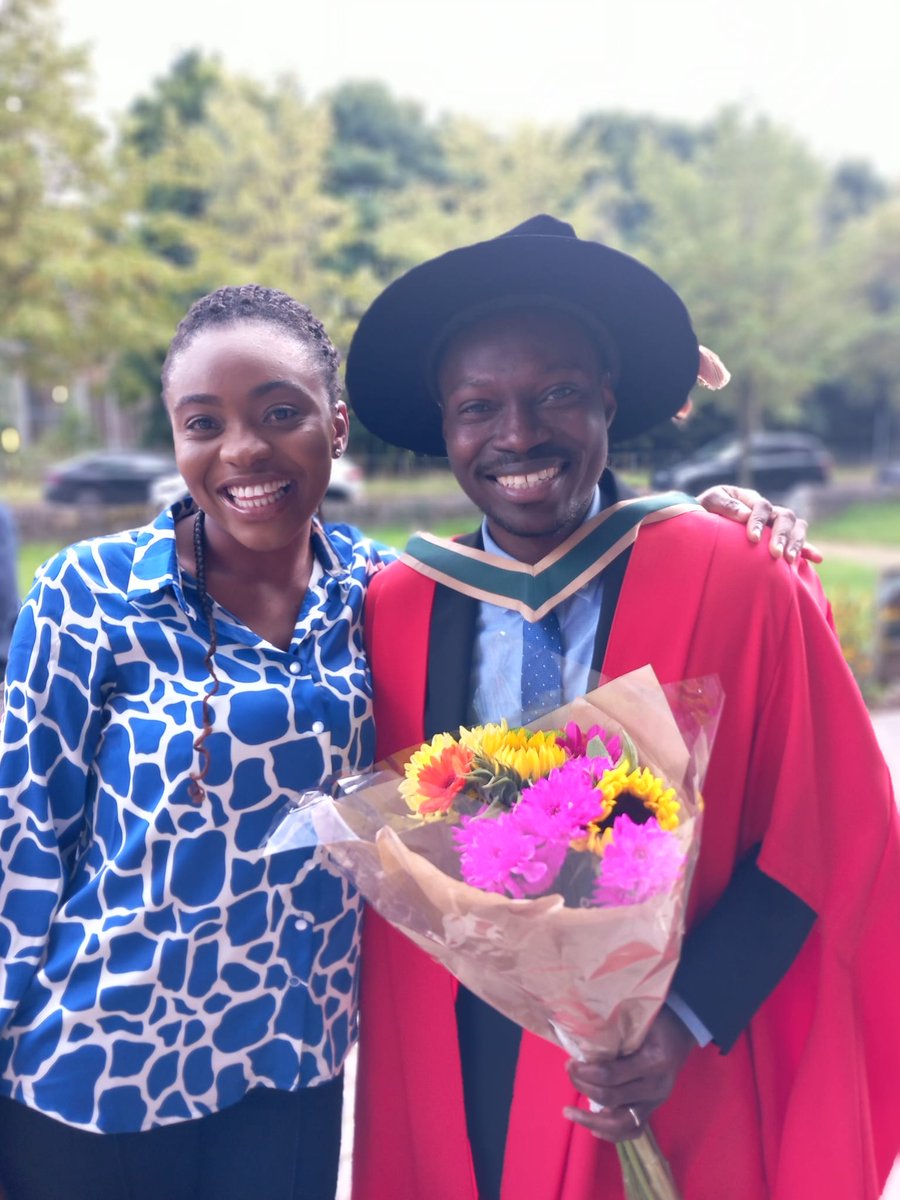
Congratulations to Dr Bernard Essel on his graduation today! Enjoy the celebrations with Araba and Conor and your friends, it is very well deserved! #PhDLife #Graduation

Launch of Sentinel 2C on the 4th. Amazing news !!
Watch the launch of @CopernicusEU #Sentinel2C on #VV24, the last Vega flight from Europe’s Spaceport, live on #ESAwebTV on 4 September from 02:30 BST/03:30 CEST (liftoff scheduled at 02:50 BST/03:50 CEST). 📺 esa.int/ESA_Multimedia… esa.int/Applications/O…
Back to school for all students and 5*S this week, looking forward to meeting new students and teachers from different schools and showing off our SatelliteSkill5 App. Get in touch if you would like to learn more. #believeinscience

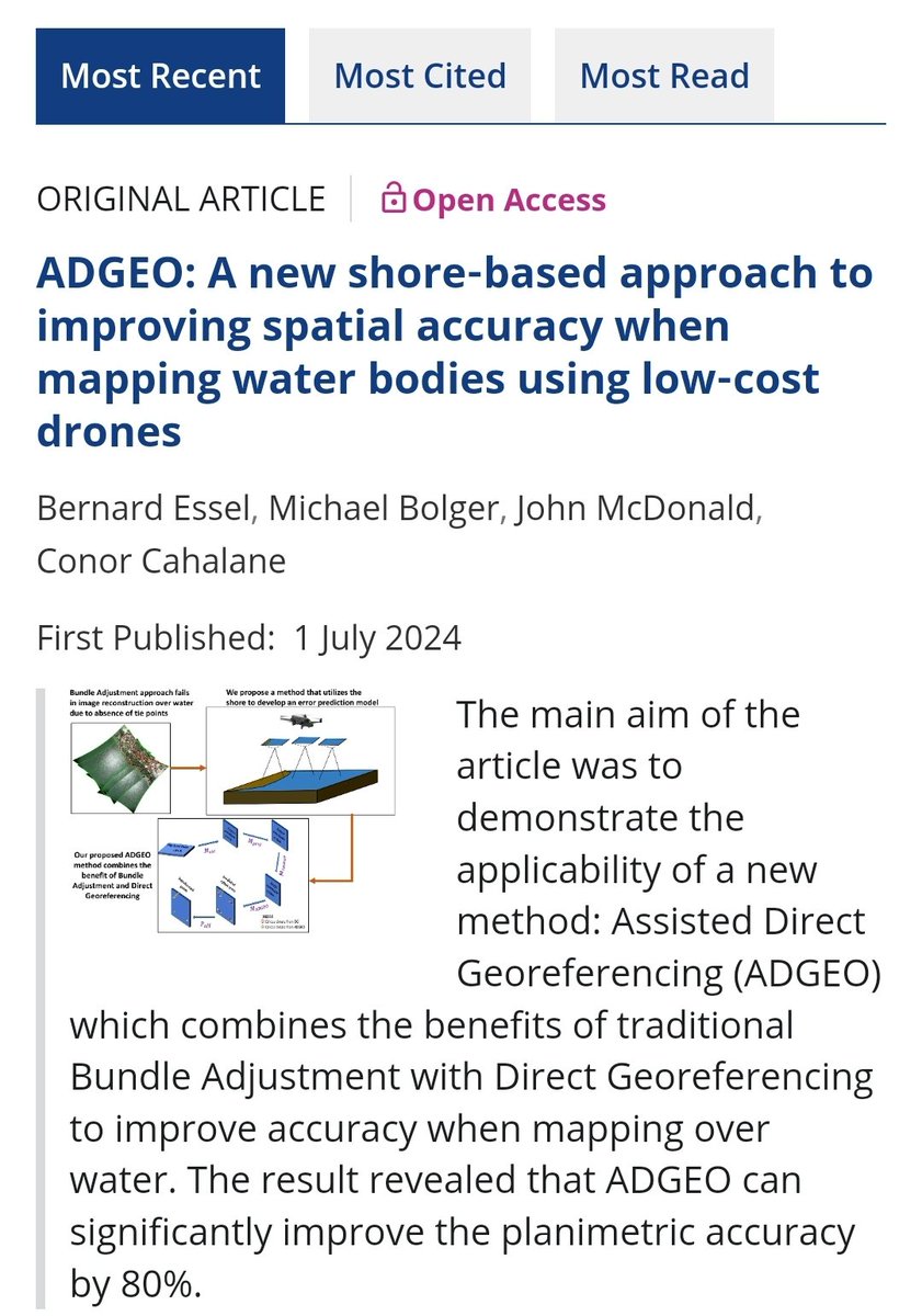
Am happy to share that our paper has been published as an open access in #PhotogrammetricRecord through the open access agreement initiative by IRel through @MaynoothUni Thanks to @con20or and @jmcdonald_mu for all the feedbacks. onlinelibrary.wiley.com/doi/epdf/10.11…
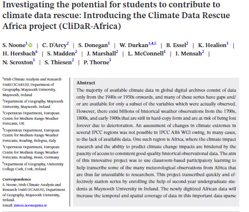
New paper just published : Investigating the potential for students to contribute to climate data rescue: Introducing the Climate Data Rescue Africa project (CliDaR‐Africa) doi.org/10.1002/gdj3.2… @MaynoothUni @Maynoothgeog @ICARUS_Maynooth
Wondering where to access some free LiDAR data?
📢Reminder that the registration for #EduServ22 is now open 📢 eurosdr.net/education/cour…
The 2024 series of #elearning #courses from EuroSDR is now open for registration 💻 More information at eurosdr.net/education/cour… #3DSceneCapture #3DPointCloud #RemoteSensing #Sentinel #Sustainable #OpenData #BusinessModels #EduServ22

Interesting to know, the importance of #photogrammetry
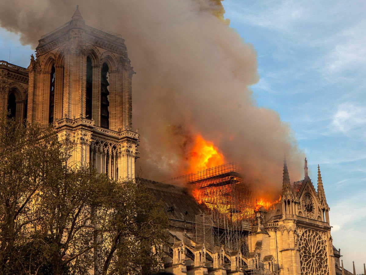
When the Notre Dame Cathedral in Paris was engulfed in flames, Ubisoft, the creators of Assassin's Creed, had previously mapped the cathedral for their game. They generously extended their plans and expertise to assist in the restoration and reconstruction of this iconic…
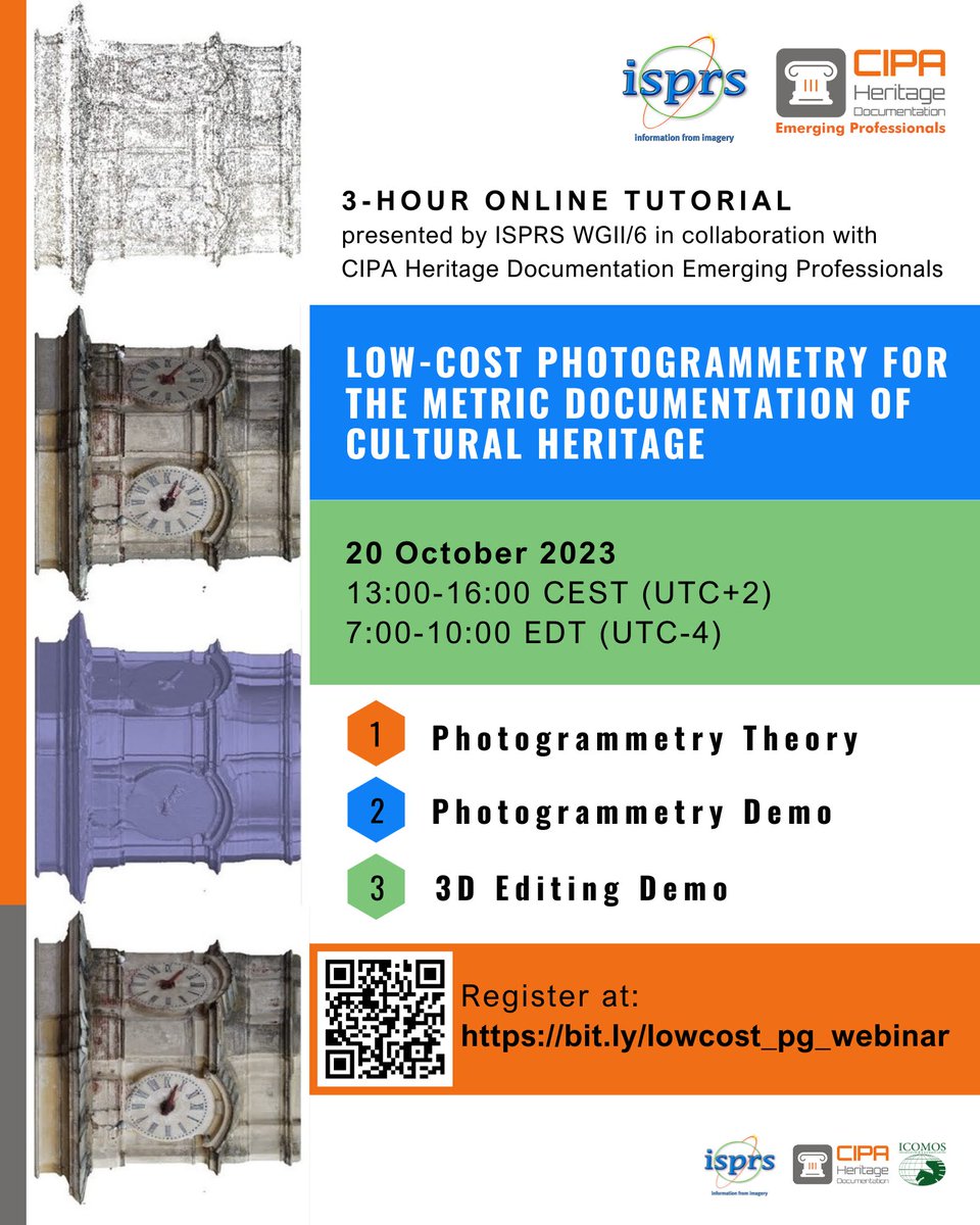
On behalf of @isprs WG II/6 we are organizing a free webinar on low cost #photogrammetry for #heritage documentation, in collaboration with @CIPAHeritageDOC Register here: bit.ly/lowcost_pg_web… cc: @ISPRS_SC
Sign this petition to SAVE TU Dublin's Bachelor of Science (Honours) in Geospatial Surveying #SaveGeoSurv - Sign the Petition! chng.it/H6kjLqLM via @Change
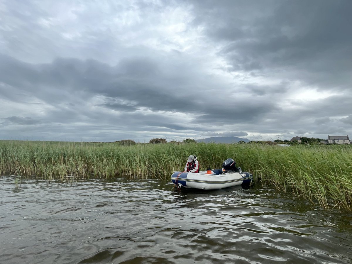
I'm in search for a drone data over water body (preferably a lake) with turbidity, algae blooms, or distinctive features. This is only for research purposes. If you know someone who can be of help, please consider sharing. 😊 Thanks! @con20or @GeoNadirAu #DroneData #WaterQuality
There has been much discussion as to how the EPA measures water quality, the Nitrate's Interim Review and the ‘Red Map’. Learn more about the EPA's assessments of water quality and agriculture and find the answers to frequently asked questions here: bit.ly/3O8X1n7
#SatGPT is an app that lets you talk to satellite imagery. We've got some more work to do before it's polished, but I'm pretty psyched about the results so far. Powered by @Element84 @STACspec @LangChainAI @Panel_org @HoloViz_org, huge thanks to @ivanziogeo & @MarcSkovMadsen
Water quality still an issue
Irish waters are being damaged by nitrogen from fertilisers & manures, and phosphorus from agricultural runoff & wastewater discharges. These cause an overgrowth of plants & algae, clogging up our waters and using up oxygen which harms fish & aquatic life: bit.ly/3oVYe8P


Today, I had the opportunity to present part of my research on improving planimetric accuracy when mapping over water at #MMT2023 . The paper coming soon in #isprsarchives!

Day 2 of the #MMT2023 Symposium. Interesting sessions on #Autonomousvehicles , #pointcloud , #machinevision and #uav .


Amazing
The Sentinel-2 Land Cover Explorer is a new app released by Esri. The app is structured around a web-based version of its own high-resolution global land-cover map, derived from @esa Sentinel-2 satellite imagery. ow.ly/I3er50Nx5EL

Was happy to give a workshop at ISTA
Thanks @IrishSciTeach for letting us demo our @esa Climate Detectives usecase this weekend - @Bernard_GIS showing how @ArcGISOnline can introduce teachers/students to the role of Sentinel and other satellite-derived data for monitoring forests @Esero_ie @scienceirel
United States Trends
- 1. Cowboys 68,9 B posts
- 2. Clippers 10,5 B posts
- 3. Norman Powell 1.774 posts
- 4. Texans 54,5 B posts
- 5. Jerry 42,4 B posts
- 6. Cooper Rush 11,8 B posts
- 7. soobin 61,1 B posts
- 8. Mike McCarthy 3.216 posts
- 9. Mixon 17,6 B posts
- 10. Lindy 3.455 posts
- 11. Trey Lance 3.159 posts
- 12. Dyson Daniels 2.689 posts
- 13. sabrina 106 B posts
- 14. Keon Ellis 1.658 posts
- 15. Harden 18,4 B posts
- 16. #WWERaw 62 B posts
- 17. Podz 1.400 posts
- 18. Herta 34,1 B posts
- 19. #AskShadow 7.085 posts
- 20. #TheFutureIsTeal 1.033 posts
Who to follow
-
 Ka Hei Chow
@pinkychow1010 -
 ISPRS SC
@ISPRS_SC -
 Rebekke Muench
@beemuench -
 Itohan-Osa
@Itohan_Osa_ -
 Dr. S.K.P.Kushwaha 🇮🇳 🇨🇭
@skpkushwaha1 -
 Arunima Singh
@Arunima26728187 -
 Conor Cahalane
@con20or -
 Charmaine Cruz
@charmcharmcruz -
 Martina Roche
@TrionaTrina -
 @YerayCastillo
@YerayCastillo_ -
 Rachel McArdle
@RachelMcArdle19 -
 Sheryl Rose Reyes
@srcreyes -
 MU Geography Society
@MUGeogSoc -
 GSI Postgrad Network
@GSI_PECN -
 William Durkan
@WilliamDurkan
Something went wrong.
Something went wrong.


