Michael Coleman ⛈️☀️
@michael_wx_Weather enthusiast / warning siren enthusiast / weather radio collector. Photographer & Videographer.
Similar User

@cherring_VWX

@FickleWX

@TwistedVortices

@xtremewxzy

@mcdougal_wx

@WeatherToby

@peytonmorr

@wx_chloe4

@clayton_funke

@aswansonweather

@Wx_Fern

@MS_ValleyWx

@bruggeman_bryce

@StormspotterNic

@HannahC_WX
Everybody checking X to see if Discord is down right now LOL #Discord #DiscordDown
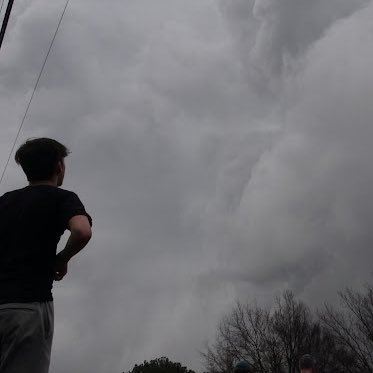
Colorado Springs this morning… Photos from Rebekah Cross


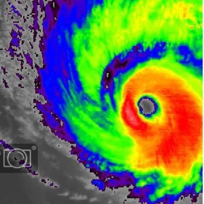
BREAKING: Hurricane Rafael expected to become a RARE November MAJOR hurricane before landfall in Cuba today.
A tornado watch has been issued for parts of Arkansas, Kansas and Missouri until 9 PM CST

PDS Tornado Warning continues for Nowata OK, Talala OK and Jamestown OK until 1:30 PM CST. This is a PARTICULARLY DANGEROUS SITUATION, SEEK SHELTER! We’re tracking this LIVE now: youtube.com/watch?v=3EdSME…

WATCHING PTC18 for development into a #hurricane before even the Cayman Islands, where hurricane warnings are in effect. We saw this potential a week or so ago. It looks like a possible landfall of a weakening tropical cyclone as early as next weekend.

Today has the potential to be big. It only takes one violent storm for this event to be remembered for a very long time.

Watching closely this little mini supercell to the SW of Team Dominator HQ near Dibble. This super shower shows the strong low-level wind shear in place this morning in central Oklahoma

We could break Oklahoma's record November tornado total (12 in 1958) IF we haven't already!The time to be weather aware is NOW...tune to your favorite media source, your weather radio, and NWS Office's social media. ticker.mesonet.org #okwx #okmesonet

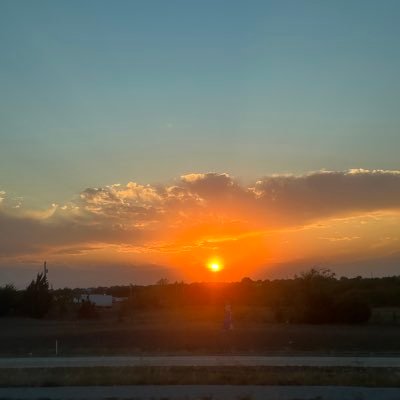
The calm after the storm in Oklahoma City. A sunset burn for the ages. #okwx

There is an Enhanced Risk of severe storms across parts of the Southern Plains & Ozarks today. The risk is mainly driven by tornadoes, which some of them may be strong (EF2+). Damaging winds and large hail will be possible as well. #okwx #txwx #arwx #mowx #weather


6:48pm CST #SPC_MD 2197 , #arwx #okwx #txwx, spc.noaa.gov/products/md/md…

Two #tornado warnings with squall line approaching OKC! Watch this closely OKC Metro! Tornado warnings for Yukon north to Piedmont and also west of Dibble! LIVE STREAM: youtube.com/live/Y8CpqnNHc…

Moore-Valley Brook, Oklahoma tornado from last night's outbreak upgraded to EF3 (140 mph).

4pm EDT 11/3 Key Messages on Potential Tropical Cyclone #Eighteen. A tropical storm warning has been issued for #Jamaica, and a hurricane watch has been issued for the #CaymanIslands. See hurricanes.gov for more details.

Update: 1) Sooner Road (formerly known as Valley Brook) tornado is rated EF3; analysis continues but think that's as high as that one will get; 2) Comanche (Stephens Co) tornado will be rated at least EF2; 3) survey ongoing on the Harrah track; prelim EF3. PNS coming later today
A destructive #tornado tore through the Valley Brook / Tinker areas in the early morning hours with yet another overnight #tornado event in Oklahoma. The damage looks quite severe including overturned vehicles and bad structure damage
Extensive damage here off of Sooner Rd and 89th St. #okwx @NWSNorman @MyRadarWX @SevereStudios

3:57pm CDT #SPC_MD 2183 , #txwx #nmwx, spc.noaa.gov/products/md/md…

United States Trends
- 1. Army 418 B posts
- 2. Dylan Harper 2.651 posts
- 3. George Stephanopoulos 83,1 B posts
- 4. Sixers 8.233 posts
- 5. Dennis 45,8 B posts
- 6. ABC News 77,3 B posts
- 7. Melton 9.294 posts
- 8. $PHNIX 10,2 B posts
- 9. $CUTO 12,3 B posts
- 10. Seton Hall 1.106 posts
- 11. Cade Tyson N/A
- 12. #SNME 19,3 B posts
- 13. Real Madrid 103 B posts
- 14. Ancelotti 37,9 B posts
- 15. Nets 18,5 B posts
- 16. Marshall 23,4 B posts
- 17. Christie 14 B posts
- 18. Cam Johnson 2.280 posts
- 19. AJ Green 1.257 posts
- 20. Valverde 20,9 B posts
Who to follow
-
 Chloe Herring_VWX
@cherring_VWX -
 Dalton Fickle
@FickleWX -
 TwistedVortices
@TwistedVortices -
 NorthernWisconsinWX
@xtremewxzy -
 Malik M
@mcdougal_wx -
 Toby ⛈️🌨️
@WeatherToby -
 Peyton
@peytonmorr -
 ℂ𝕙𝕝𝕠𝕖
ℂ𝕙𝕝𝕠𝕖
@wx_chloe4 -
 Clayton_Wx
@clayton_funke -
 Alexis Swanson
@aswansonweather -
 FernWx
@Wx_Fern -
 Nick K 🖖🏻
@MS_ValleyWx -
 Bryce Bruggeman
@bruggeman_bryce -
 StormSpotterNic
@StormspotterNic -
 Hannah Cavender🌪
@HannahC_WX
Something went wrong.
Something went wrong.


